Pyrenees · HC climb · Via Laruns and Gourette
Ride the Col d'Aubisque: 16.6 km at 7.2% from Laruns to 1,709 m
A gentle start through the forest, a hard middle to the ski resort of Gourette and a final four kilometres among grazing sheep and horses: the Col d'Aubisque has been part of the Tour de France since 1910. Over the top, a road cut into the cliffs of the Cirque du Litor leads on to the Col du Soulor.
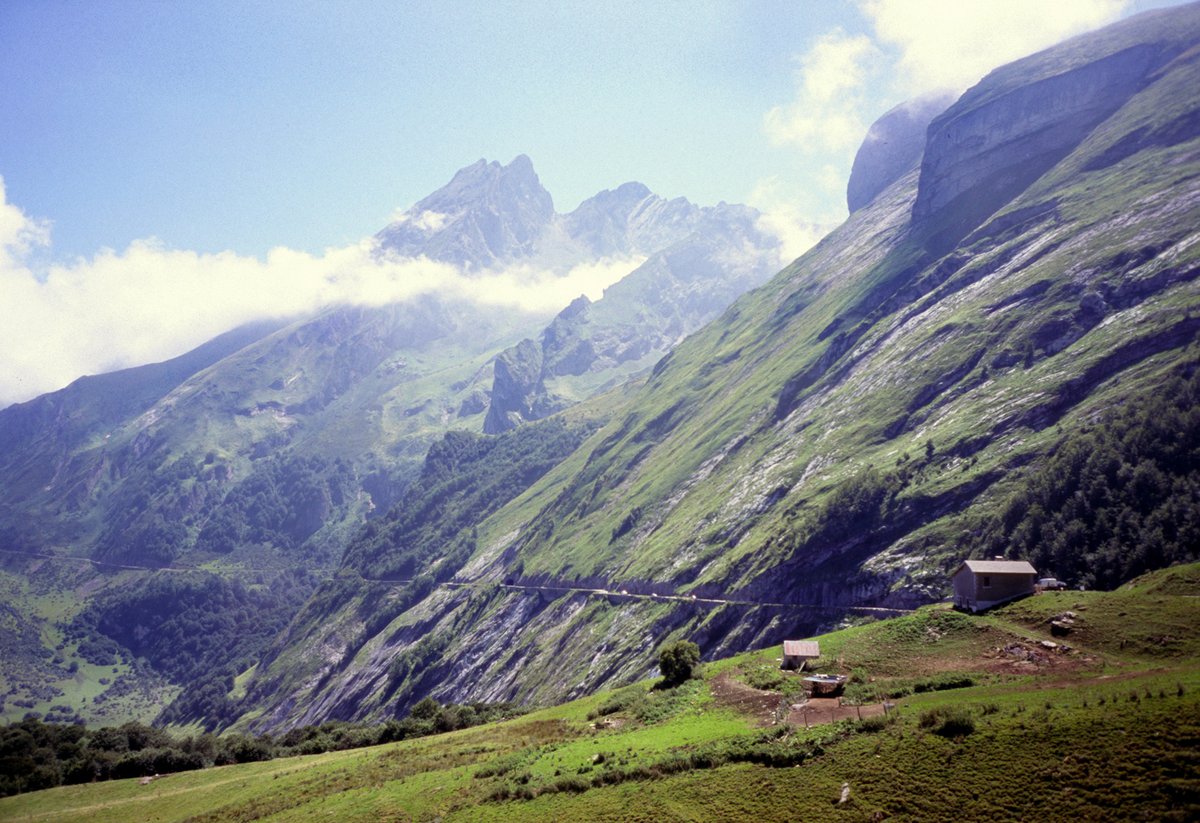
Quick facts
- Distance
- 16.6 km
- Average grade
- 7.2%
- Max grade
- ~13%
- Elevation gain
- 1,190 m
- Summit
- 1,709 m
The experience
The Aubisque (1,709 m) links the Ossau valley in the west with the Val d'Azun and Argelès-Gazost in the east. The classic side is the west: from Laruns it is 16.6 km at 7.2% with 1,190 m of climbing. From the east you first climb the Col du Soulor (1,474 m) from Argelès-Gazost, then follow the Litor road to the top, which makes about 30 km at an average of just over 4%.
The west side, section by section: the first 4 km to the old spa town of Eaux-Bonnes run at 4–5% through the forest, with water and toilets in the village. After Eaux-Bonnes the road steepens to about 8%, then eases to around 4% before a bridge. A sign then warns of 300 m at 13%, and from there it is a steady 8.5% for about 6 km to Gourette (about 1,400 m), with ramps of 10% under the avalanche shelters. Gourette has a short flat, a water fountain, a bakery and cafés.
The last 4 km from Gourette average 8–9% with no real rest. The road climbs past the Crêtes Blanches viewpoint and restaurant, then out into open pasture where sheep, cows and horses graze freely in summer. At the top stand three giant bikes painted in the colours of the Tour jerseys, a café, and a stone memorial to André Bach, the Béarn cycling club president who died after deportation in 1945.
The east side: from Argelès-Gazost the Col du Soulor is 19.5 km at 5.2% with 1,019 m of climbing, getting steeper after Arrens-Marsous. From the Soulor the road drops into the Cirque du Litor, runs along the cliff through short, narrow tunnels and then climbs 7.5 km at 4.6% to the Aubisque. In total the east side is about 29.8 km. Many riders say the Litor road between the two passes is the most beautiful part of the whole day.
History: the Tour first crossed the Aubisque in 1910, on the first big Pyrenees stage, with François Lafourcade first over the top. From 1947 to 2022 it was crossed 47 times, which makes it one of the Tour's most used mountains. In 1951 the yellow jersey Wim van Est crashed on the descent towards the Soulor and fell about 20 m (some reports say 70 m) into a ravine. He survived and was pulled out with a tow rope lengthened with his team's racing tyres, and a plaque marks the spot. The Tour has finished at the top twice: Stephen Roche won in 1985 and Michael Rasmussen in 2007, though his team removed him from the race that same evening. The Vuelta finished there in 2016, won by Robert Gesink.
Our time estimate (own calculation, rider and bike 80 kg in total, steady power): the west side from Laruns takes about 1 h 55 at 150 watts, 1 h 35 at 180 W and 70 minutes at 250 W. The east side from Argelès-Gazost over the Soulor takes about 2 h 25, 2 h and 1 h 35. At 180 W you ride the 8.5% stretches at about 9 km/h, which means 59 pedal turns per minute on 34×28 and 67 on 34×32. On the 13% ramp you drop to about 6 km/h and 40–46 turns per minute, so a 32- or 34-tooth sprocket makes a real difference here.
The easy start is the trap. The first 4 km to Eaux-Bonnes feel like a warm-up, and many riders go too fast there and pay for it after Gourette, which is the steepest and most open part of the climb. Our advice: ride the bottom at a pace where you can talk, and save your effort for the last 4 km. If you stay in Laruns, a good day is out and back over the Litor: up the west side, on to the Soulor, back to the Aubisque and down. By the figures above that is about 54 km and roughly 1,650 m of climbing, with about 2 h 20 of actual climbing at 180 W, plus a coffee stop at the Soulor.
Pro tips
- Mistake: racing the first 4 km: The road to Eaux-Bonnes runs at 4–5%. The steady 8–9% only starts later, and the hardest part is after Gourette.
- Mistake: not checking the road is open: The pass is usually closed from mid-November until May, and the Aubisque–Soulor road is closed all winter. Check the road status on valleedossau.com or Inforoute 64 before you go.
- Mistake: riding the Litor tunnels without a light: The tunnels are short, but at least one is dark. A small rear light costs nothing to carry.
- Refill in Gourette: Water in Eaux-Bonnes and Gourette; after that, the next places are the Crêtes Blanches restaurant and the café at the top.
- Know the camper times: Vehicles over 3 tonnes and campers may only drive Soulor to Aubisque from 6:00 to 13:00 and Aubisque to Soulor from 13:00 to 20:00, so expect them coming towards you on the Litor road at those times.
- Watch for animals: Sheep, cows and horses graze on the open slopes near the top and sometimes stand on the road, also on the descent.
- Carry a jacket: Weather in the Pyrenees changes fast, and the top is often in cloud even when Laruns is sunny.
Estimate your time up Col d'Aubisque
By our model, a 72 kg rider on an 8 kg bike holding 216 W (3 W/kg) needs about 1:20 for the 16.6 km and 1,190 m of Col d'Aubisque. Enter your weight, your bike's weight and the power you can hold for about an hour of climbing.
Estimated time: 1:20:21
More about the climb time calculator ·
Steady power, no wind, no stops, and the average grade of the whole climb. Steep ramps, flat sections and descents are only evened out roughly, so irregular climbs will be less accurate. Your values are saved only in this browser.
What was your average speed?
Enter your time from the bottom to the top (16.6 km).
More climbs in France
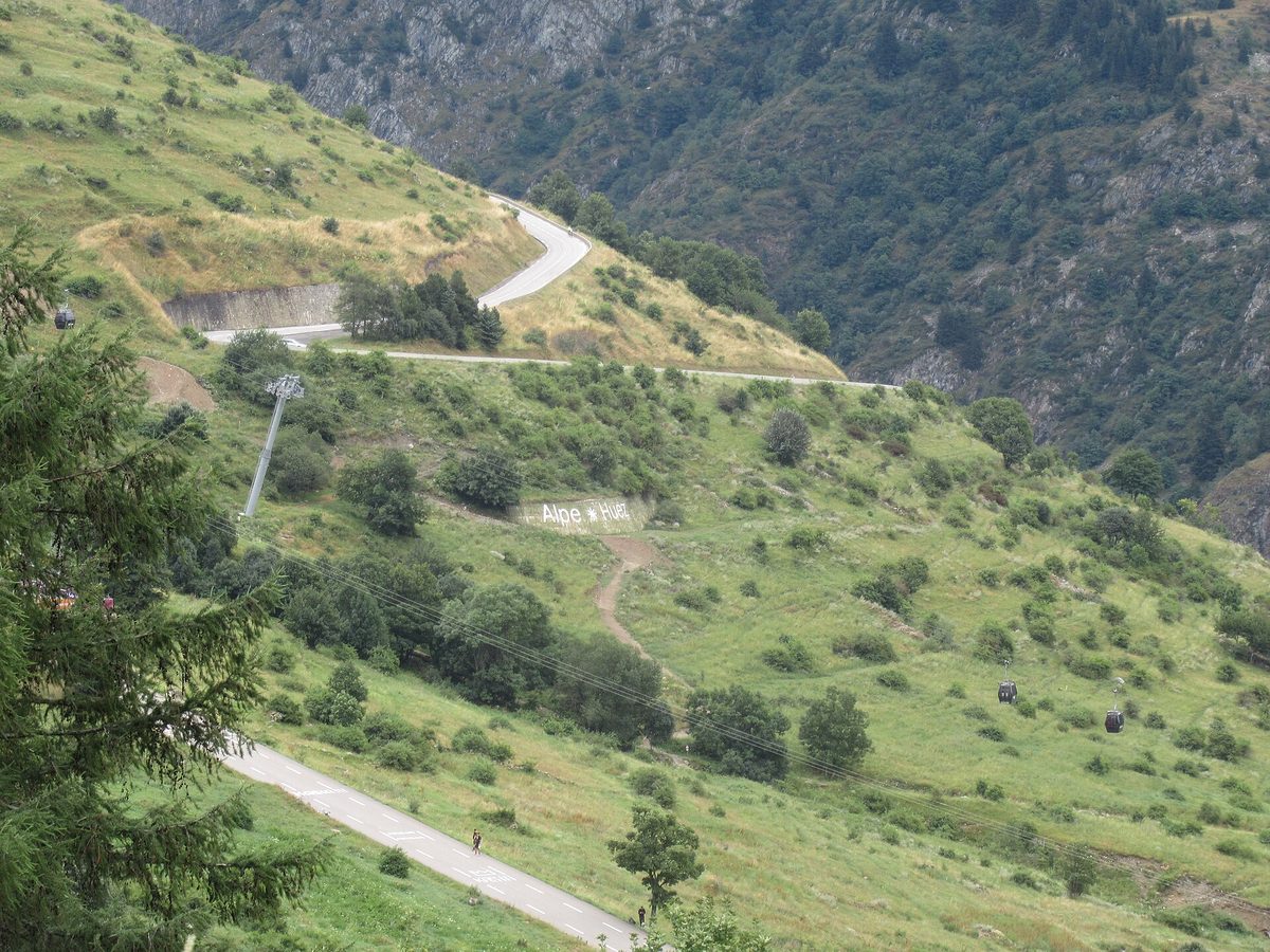
Alpe d'Huez
The 21 Hairpins — 13.8 km · 8.1% avg
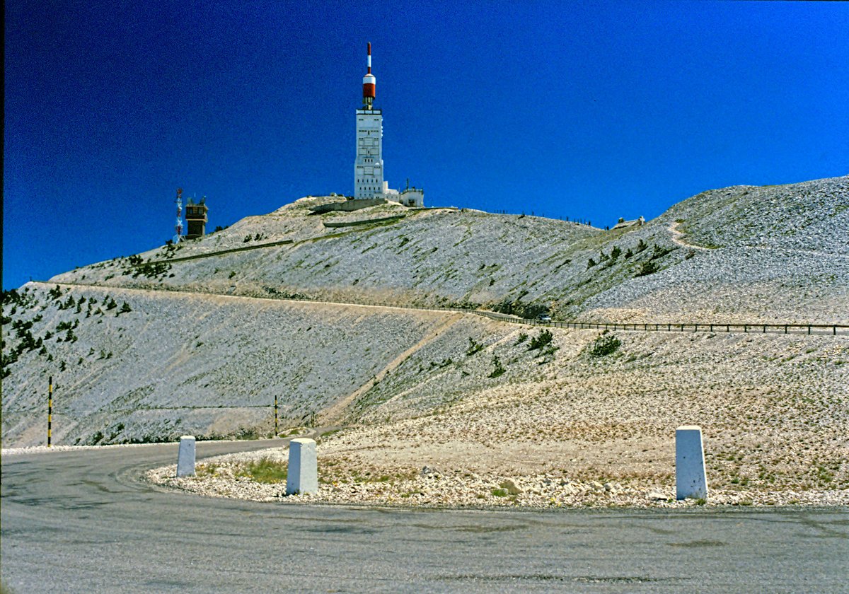
Mont Ventoux
Giant of Provence — 21.8 km · 7.4% avg
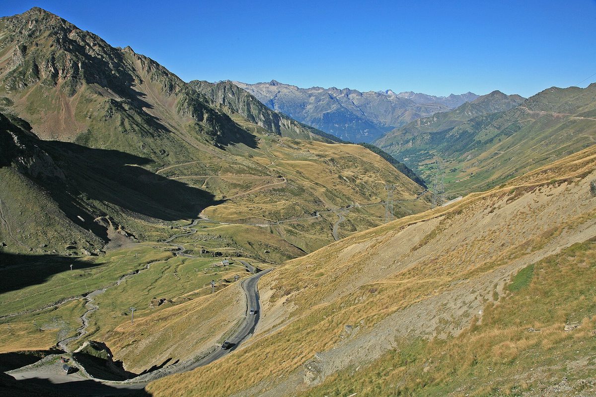
Col du Tourmalet
Giant of the Pyrenees — 19.0 km · 7.4% avg
Also useful: Gearing for Mountain Climbs: Chainrings, Cassettes and Bike Setup for Alpe d'Huez, the Galibier and the Angliru
Also useful: How to Climb Long Mountain Climbs: Pacing, Effort and Fueling for Alpe d'Huez, Ventoux and the Galibier