Southern Alps · HC climb · Via Jausiers and the Cime loop
Ride the Col de la Bonette: 23.2 km at 6.8% from Jausiers to 2,802 m
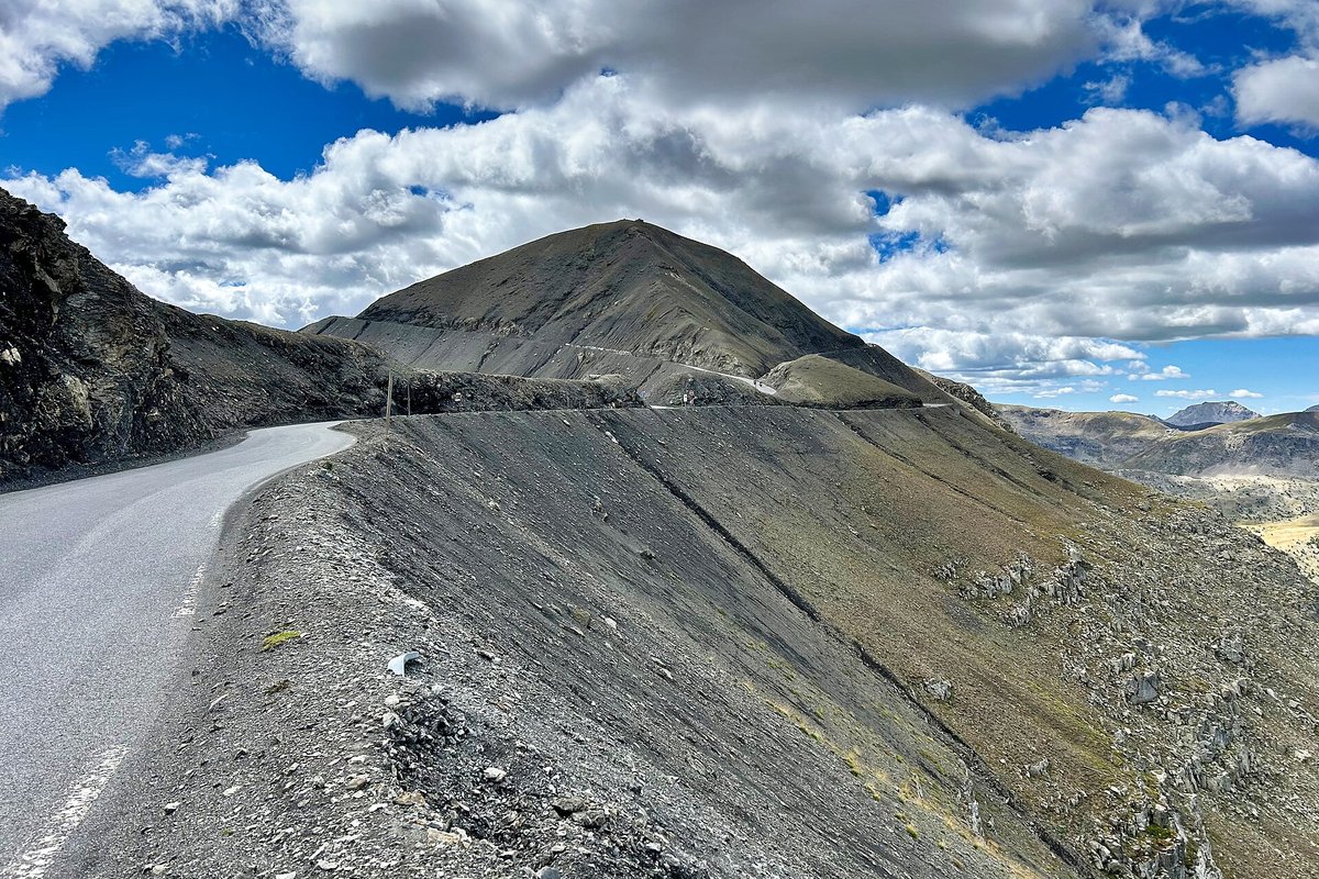
The Bonette is two summits in one. The road crosses the Col de la Bonette at 2,715 m, and from there a short loop climbs round the Cime de la Bonette to 2,802 m, the highest paved road in France and the highest point the Tour de France has ever reached. From Jausiers in the Ubaye valley it is 23.2 km at 6.8%, and about half of it is above 2,000 m.
Quick facts
- Distance
- 23.2 km
- Average grade
- 6.8%
- Max grade
- ~12%
- Elevation gain
- ~1,590 m
- Summit
- 2,802 m (col 2,715 m)
The experience
The road (D64 on the Ubaye side, M2205 on the Tinée side) links Jausiers with Saint-Étienne-de-Tinée through the Mercantour National Park. The col itself is 2,715 m (the IGN map gives 2,712 m). It is not the highest pass road in the Alps: the Col de l'Iseran (2,764 m) and the Stelvio (2,757 m) are higher, and so is the Col Agnel (2,744 m). What makes the Bonette special is the loop round the Cime: a loop of about 2 km around the peak that tops out at 2,802 m. Some signs and tourist sites call it the highest road in Europe. That is not quite true: the Ötztal glacier road in Austria, a dead end to a ski area, reaches about 2,830 m, and the old road up the Pico Veleta in Spain goes higher still, though its top part is unpaved and closed to cars. A fair way to put it: the highest paved road in France, and the highest paved road in the Alps that is not a dead end.
The north side, section by section: Jausiers sits at about 1,214 m, and the road quickly settles at around 7% in a valley of larch and meadows. After the last hamlet, Chalannette (1,545 m), there is a stretch at 8%, a barrier that marks the start of the high-mountain road, and four hairpins at about 8%. From Le Rochas (1,785 m) it stays at 7.5–8% for about 3 km to the Halte 2000 restaurant, roughly halfway. A 600 m stretch at 4.5% gives you a breather, then come six hairpins with ramps of 9–10%.
Above the small Lac des Essaupres (about 2,305 m) the grass gives way to rock. The road passes the old Restefond barracks and the faux col de Restefond (2,638 m), with old military buildings and blockhouses by the road, remains of the Alpine Maginot Line. The last 2 km to the col are the easiest of the climb, at about 3–3.5%. At the col you can turn either way onto the Cime loop. Coming from Jausiers, Route des Grandes Alpes advises turning right: about 1 km at 8%, with 12% in the last hundred metres. From the top of the loop a footpath leads to the real summit of the Cime (2,860 m) and its viewpoint table.
The Tour de France has crossed the Bonette five times: in 1962 and 1964, when Federico Bahamontes was first over the top both years; in 1993 (Robert Millar); in 2008 (John-Lee Augustyn); and in 2024, when Richard Carapaz led over the summit on the stage from Embrun to Isola 2000 that Tadej Pogačar won. It was a first-category climb in the 1960s and has been hors catégorie since 1993. In 2008 Augustyn crashed on the descent towards Jausiers just after the top. He could not get his bike back and had to wait for his team car, while Cyril Dessel went on to win the stage.
Our time estimate (own calculation, rider and bike 80 kg in total, steady power, same model as our other guides): from Jausiers to the 2,802 m top takes about 2 h 30 at 150 watts, 2 h 07 at 180 W and 1 h 34 at 250 W. At 180 W you ride the 6.8% average at about 11 km/h, which is 71 pedal turns per minute on 34×28. On the 9–10% ramps you drop to about 8 km/h, which is 51–56 turns per minute on 34×28 and 58–64 on 34×32. The final 12% on the loop gives about 43 on 34×28 and 49 on 34×32. A compact chainset with a 30- or 32-tooth sprocket is a sensible choice, mostly because you will be tired and high up when the steep bits come.
Those times are for sea-level conditions, and the Bonette is not at sea level. Thin air helps a little with drag, but at climbing speed that saves less than a minute. The bigger effect is on your body: in a lab study of well-trained cyclists (Clark et al., 2007), five-minute power fell about 6% at 1,200 m and about 10% at 2,200 m compared with near sea level. If we apply that to the Bonette profile, a rider who holds 180 W at home might lose 13 minutes or so on the climb, and about 16 minutes at 150 W. Treat that as a rough guide: people react to altitude very differently. What it means in practice is that the same effort gives fewer watts as you climb, so ride by feel and breathing rather than by your usual power numbers.
The trap is the long, steady average. 6.8% sounds friendly, but the hardest ramps come above 2,000 m, after well over an hour of climbing, and the top is often windy and about 10 °C colder than Jausiers. Our advice: ride the first half, to the Halte 2000, at a pace where you can talk, eat and drink there, and expect your speed to drop above 2,300 m even if you feel you are working just as hard. Plan the day around the weather: start early, aim to be at the top before midday, when afternoon storms are more likely, and carry a windproof jacket and full gloves for the 23 km descent. At 180 W, allow about 2 h 20 for the climb including the altitude effect, plus stops and roughly an hour for a careful descent with a photo stop (our estimate).
Pro tips
- Mistake: not checking the road is open: The road is closed in winter and usually open from about May or June to October, depending on snow. In 2026 it opened on 30 April and closed again in October. Check inforoute04.fr or inforoutes06.fr before you go.
- Mistake: stopping at the col: The col is 2,715 m. The 2,802 m top is on the Cime loop just above it, about 1 km more at 8% with a 12% finish.
- Mistake: pacing by your usual watts: Above 2,000 m you produce less power for the same effort. Ride by breathing and feel, and save something for the ramps after the Lac des Essaupres.
- Refill low down: Fill up in Jausiers. In high season the Halte 2000 is about halfway, and there are one or two cafés on the road, but there is nothing at the col or the top. Carry two full bottles and food.
- Check the opening hours early in the season: In spring the road can be open only in the daytime because of frost. In 2026 it was open from 10:00 to 20:00 for the first weeks.
- Carry warm layers: Wind at the top can be strong and cold even in July. Put on a jacket and full gloves before the long descent.
- Watch the weather: Storms, rain, strong wind and sometimes snow can arrive quickly at this height. Check the forecast for the summit, not just for the valley.
Estimate your time up Col de la Bonette
By our model, a 72 kg rider on an 8 kg bike holding 216 W (3 W/kg) needs about 1:48 for the 23.2 km and 1,590 m of Col de la Bonette. Enter your weight, your bike's weight and the power you can hold for about an hour of climbing.
Estimated time: 1:48:17
More about the climb time calculator ·
Steady power, no wind, no stops, and the average grade of the whole climb. Steep ramps, flat sections and descents are only evened out roughly, so irregular climbs and climbs with approximate figures (~) will be less accurate. Your values are saved only in this browser.
More climbs in France
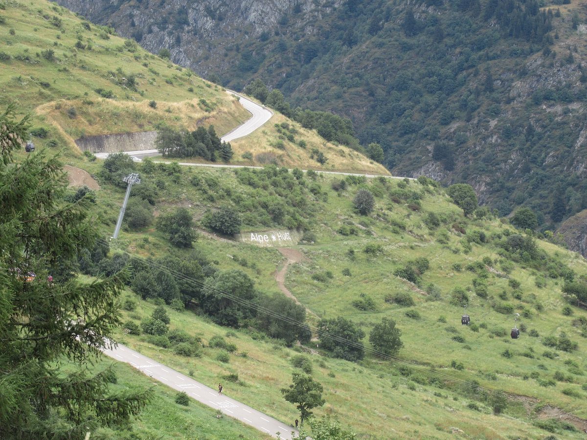
Alpe d'Huez
The 21 Hairpins — 13.8 km · 8.1% avg
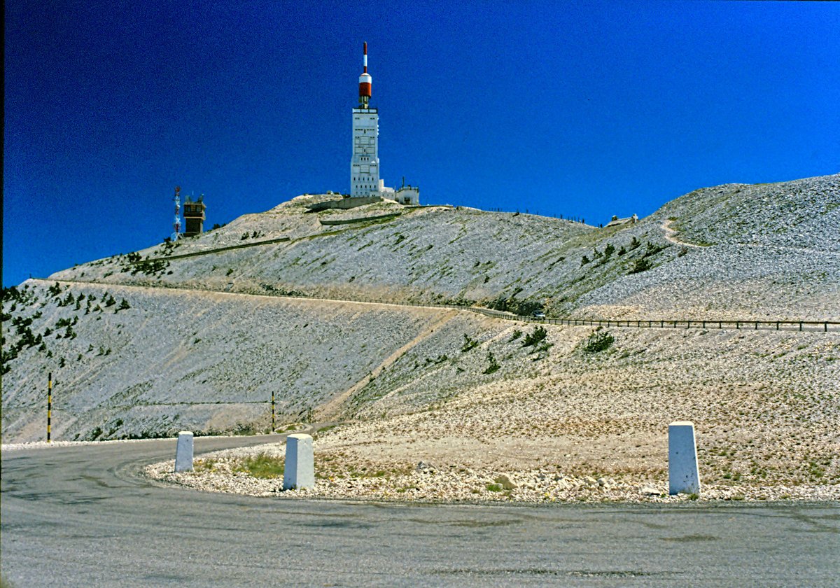
Mont Ventoux
Giant of Provence — 21.8 km · 7.4% avg
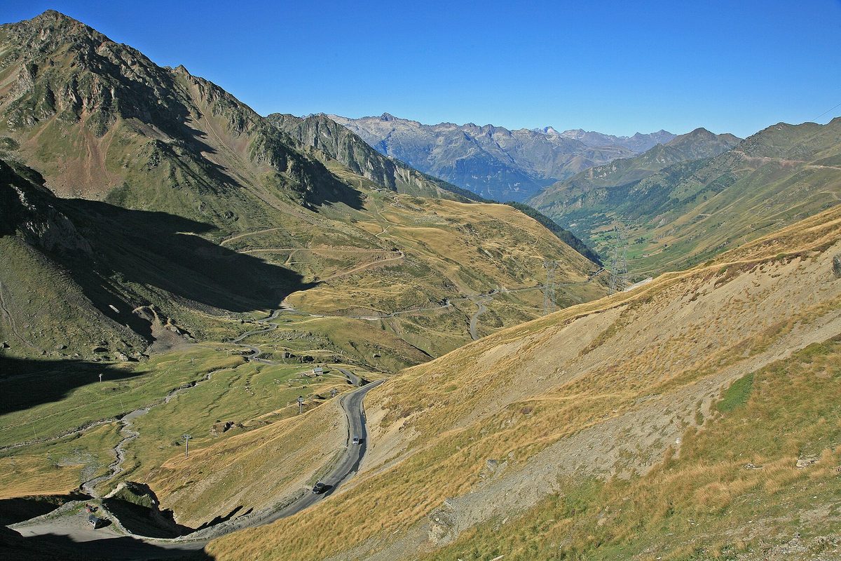
Col du Tourmalet
Giant of the Pyrenees — 19.0 km · 7.4% avg
Also useful: Gearing for Mountain Climbs: Chainrings, Cassettes and Bike Setup for Alpe d'Huez, the Galibier and the Angliru
Also useful: How to Climb Long Mountain Climbs: Pacing, Effort and Fueling for Alpe d'Huez, Ventoux and the Galibier