French Alps · HC climb · The Casse Déserte
Conquer the Col d'Izoard: 15.9 km at 6.9% Through the Casse Déserte to 2,360 m
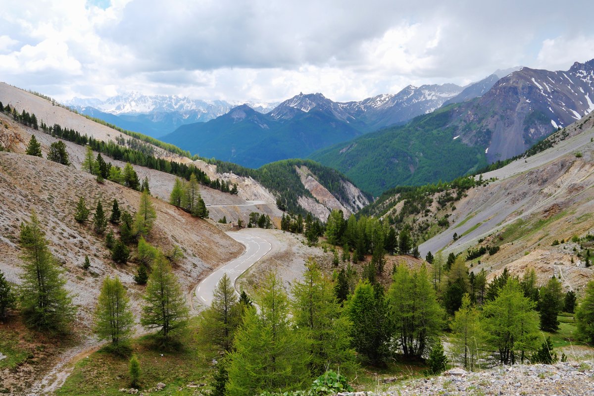
Bare scree, rock towers and a road that drops for a moment before the last climb to 2,360 m: the Casse Déserte makes the Col d'Izoard look like no other Alpine pass. It is where Coppi, Bartali and Bobet built their legends, and in 2017 it finally got its first Tour de France summit finish.
Quick facts
- Distance
- 15.9 km
- Average grade
- 6.9%
- Max grade
- ~12%
- Elevation gain
- 1,095 m
- Summit
- 2,360 m
The experience
The Izoard links Briançon with the Queyras valley over a 2,360 m pass. The classic side is the south: from the D902/D947 junction below Château-Queyras it is 15.9 km at 6.9% with 1,095 m of climbing. If you start in Guillestre, add about 15.6 km up the Guil gorge (the Combe du Queyras) at a gentle 2–3%, which makes about 31.5 km in total.
The south side, section by section: a few bends lead to Arvieux, where a 700 m flat lets you drink and refill at the village fountain. Then come the long straights: 900 m at about 9% before La Chalp and 875 m at about 10% through Brunissard, which has a fountain by the old wash-house. After Brunissard the hairpins start in the larch forest, at close to 9% for about 4.5 km. The slope faces south, so on a summer afternoon it is hot.
Then the Casse Déserte: bare scree and rock towers, a short downhill stretch, and the memorial to Fausto Coppi and Louison Bobet. After that the road climbs again for the final bends to the pass, where the stone monument and a small cycling museum stand.
The north side from Briançon is longer and steadier: 19.2 km, 1,178 m and 6.1% by Climbfinder's measurement (other sources give 19–20 km and 5.7–5.8%). The first kilometres are gentle, with a near-flat stretch, then 3–7.5% to Cervières. Two kilometres at about 9% lead to Le Laus (last water), then 7 km at 7.5–9% through the Cervières forest on a wide road to the Refuge Napoléon, about 2 km below the top.
History: the Tour first crossed the Izoard in 1922 and had used it 36 times by 2019. Gino Bartali (1938, 1948), Fausto Coppi (1949, 1951) and Louison Bobet (1950, 1953, 1954) all led over the top, and in 1975 Bernard Thévenet crossed it alone in the yellow jersey on his way to beating Eddy Merckx. The first and so far only summit finish came in 2017, when Warren Barguil won stage 18 from Briançon, climbing the south side after the Col de Vars. In the Giro, Coppi led over it in 1949 on the Cuneo–Pinerolo stage.
Our time estimate (own calculation, rider and bike 80 kg in total, steady power): the south side from the junction takes about 1 h 45 at 150 watts, 1 h 30 at 180 W and 65 minutes at 250 W. The north side from Briançon takes about 1 h 55, 1 h 35 and 1 h 10. The Guil gorge from Guillestre adds about 45 minutes at 180 W. On the 9–10% straights at 180 W you ride at about 8 km/h, which means 51–56 pedal turns per minute on 34×28 and 58–64 on 34×32. If you like to pedal faster than 60, bring a 32-tooth sprocket or bigger.
Which side, and how to ride it? For a first time, choose the south: the Casse Déserte comes near the end, as it does in the Tour. If you stay in Briançon, our suggestion is to go over and back: up the north side, down to Arvieux and the junction, back up the south side and home. By the figures above that is about 70 km and roughly 2,200 m of climbing, with about three hours of actual climbing at 180 W and water in Le Laus, Brunissard and Arvieux. In July and August, ride the south side before midday.
Pro tips
- Mistake: counting the Guillestre gorge as the climb: The Guil gorge is gentle; the real work starts at the junction below Château-Queyras.
- Mistake: pushing on the straights: Between Arvieux and Brunissard the road looks flat but runs at 9–10%, and the forest hairpins are still to come.
- Mistake: thinking the Casse Déserte is the top: After the short descent the road climbs again to the pass.
- Mistake: not checking the road is open: It is closed in winter between Le Laus and Brunissard. Over 2016–2025 it closed between late October and mid-November and reopened between early May and early June (in 2026 on 15 May). Check inforoute.hautes-alpes.fr before you go.
- Refill low down: Fountains in Arvieux and Brunissard on the south side and in Le Laus on the north; above them, the next stop is the Refuge Napoléon near the top of the north side.
- Ride a car-free morning: On Cols Réservés days the road is closed to motor traffic from 9:00 to 12:00 (in 2026 on 2 July and 6 August); next year's dates are published on hautes-alpes.net.
- Carry a jacket for the descent: The pass is at 2,360 m and both descents are long.
Estimate your time up Col d'Izoard
By our model, a 72 kg rider on an 8 kg bike holding 216 W (3 W/kg) needs about 1:15 for the 15.9 km and 1,095 m of Col d'Izoard. Enter your weight, your bike's weight and the power you can hold for about an hour of climbing.
Estimated time: 1:14:30
More about the climb time calculator ·
Steady power, no wind, no stops, and the average grade of the whole climb. Steep ramps, flat sections and descents are only evened out roughly, so irregular climbs will be less accurate. Your values are saved only in this browser.
What was your average speed?
Enter your time from the bottom to the top (15.9 km).
More climbs in France
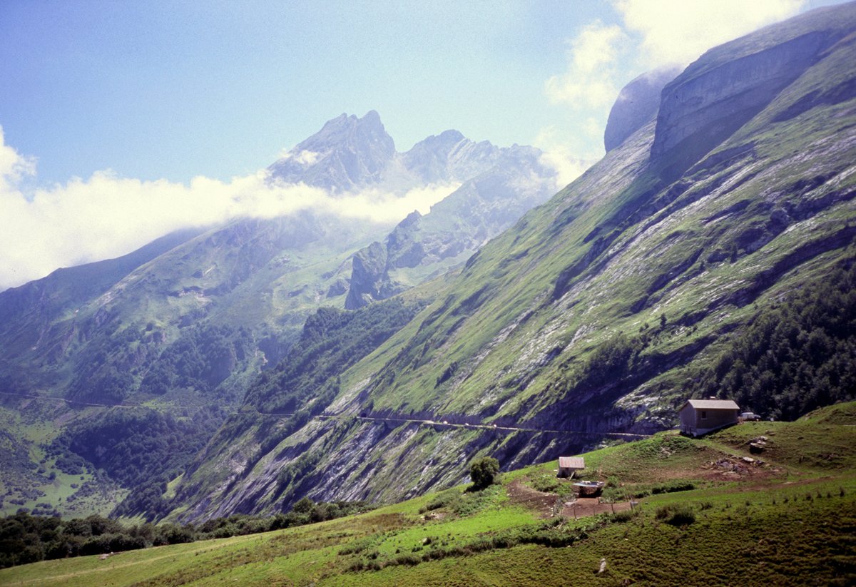
Col d'Aubisque
Balcony of the Pyrenees — 16.6 km · 7.2% avg
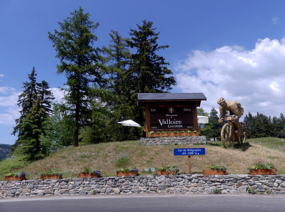
Télégraphe + Galibier
The Full Galibier from Saint-Michel — 34.8 km · ~6% avg
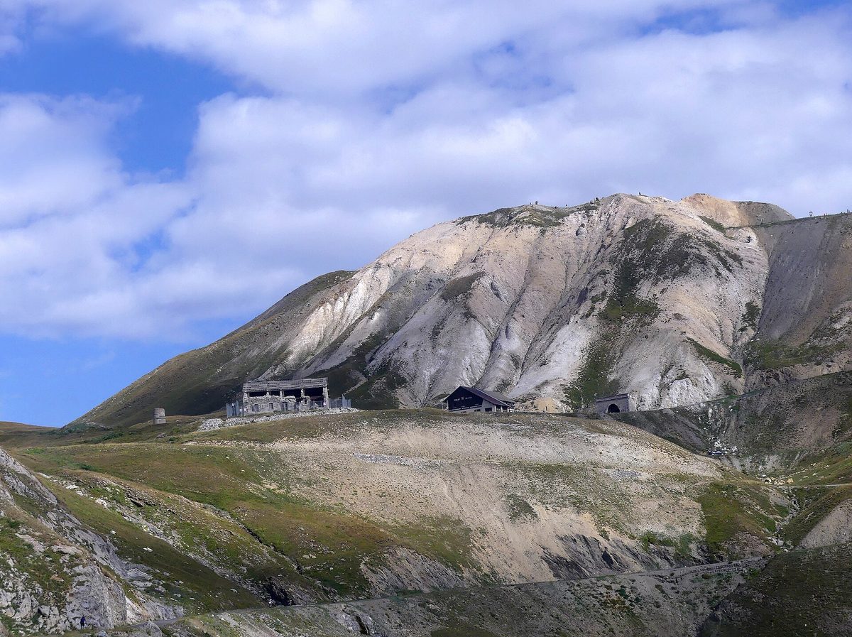
Col du Galibier
Roof of the Alps — 18.1 km · 6.9% avg
Also useful: How to Climb Long Mountain Climbs: Pacing, Effort and Fueling for Alpe d'Huez, Ventoux and the Galibier