Savoie · HC climb · Two cols, one ascent
Conquer Télégraphe + Galibier: The Full 35 km Climb from Saint-Michel-de-Maurienne
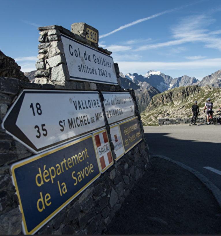
Most people "do the Galibier" from Valloire. The real thing starts 35 km earlier in Saint-Michel-de-Maurienne: the Télégraphe first, a short drop into Valloire, then the long road to 2,642 m — around 2,100 m of climbing in one effort.
Quick facts
- Distance
- 34.8 km
- Average grade
- ~6%
- Max grade
- ~12%
- Elevation gain
- ~2,100 m
- Summit
- 2,642 m
The experience
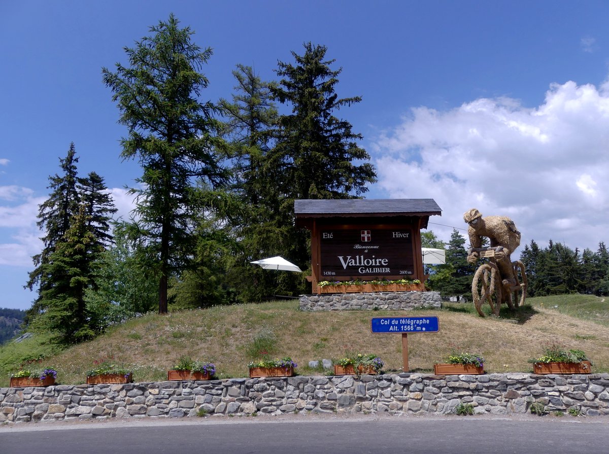
From Saint-Michel-de-Maurienne (about 710 m) the full ascent is 34.8 km with roughly 2,100 m of climbing to the Galibier at 2,642 m. It falls into three parts: the Col du Télégraphe (11.8 km at 7.1% to 1,566 m), a short descent into Valloire, and the Galibier itself (about 18 km at 6.9%).
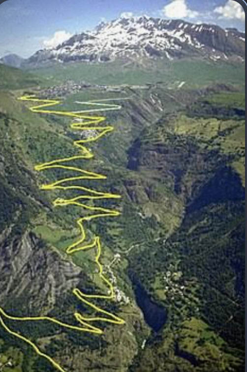
The Télégraphe is a steady, wooded first-category climb with hairpins and kilometre posts. It is easy to ride too fast; every effort spent here is paid back later. Use the drop to Valloire to refill bottles and eat.
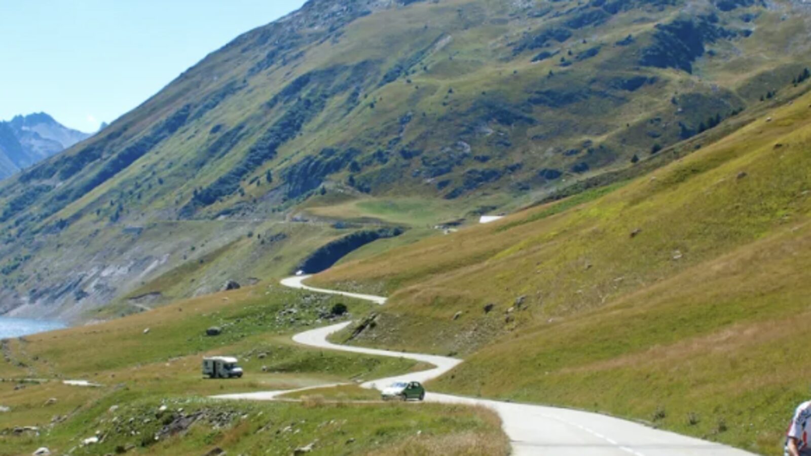
Out of Valloire the road follows a long, open valley to Plan Lachat, roughly 10 km on and close to 2,000 m. From there the last 7.8 km average about 8.5% through bare, rocky terrain, and the final kilometre past the old tunnel (closed to bikes), with the steepest pitch of about 12%, is the hardest of the day.
This is the Tour de France's classic way up, used for the first crossing in 1911 and for Pantani's 1998 attack. Stage 19 of the 2011 Tour crossed the Télégraphe and Galibier on its way to Alpe d'Huez. Pack warm layers for the top; even in summer the descent is cold and exposed.
Pro tips
- Ride the Télégraphe like a warm-up — the hard part comes after Plan Lachat.
- Refuel in Valloire; the last cafés are a few kilometres up the valley.
- Save energy for the last 8 km at 8–9% above 2,000 m.
- Use low gearing, for example 34×30–34.
- Start early to avoid heat and traffic.
- Bring a windproof layer and gloves for the cold summit and descent.
- Bikes may not use the tunnel; keep left to the true summit.
- Check the road is open — usually closed mid-October to late May.