Italian Alps · Beyond category · The Ponte di Legno side
Ride the Passo di Gavia from Ponte di Legno: 16.5 km at 8% to 2,621 m
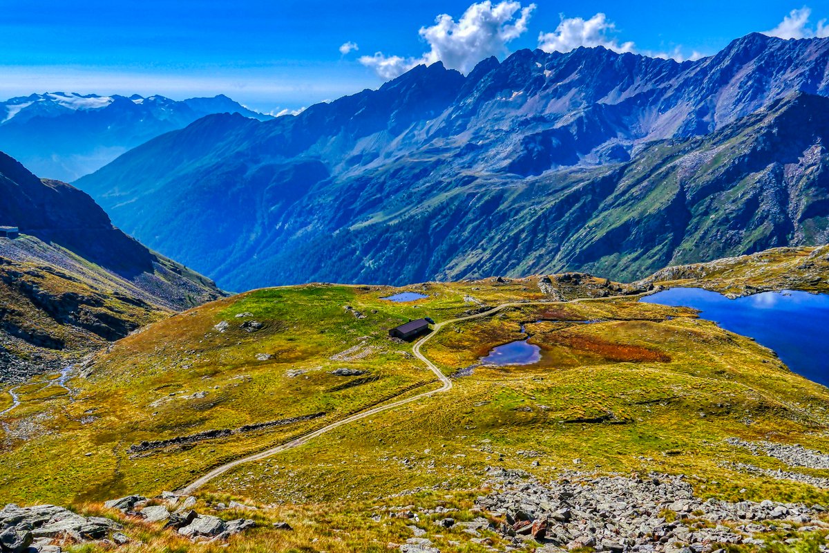
The Passo di Gavia is the Stelvio's wilder neighbour: a narrow road, often only one car wide, that climbs from Ponte di Legno to a high plateau of lakes at 2,621 m. From the south it gains about 1,320 m in 16.5 km at 8%, and it is the pass where the Giro d'Italia rode through a snowstorm in 1988. It is quieter than the Stelvio, harder than its average suggests, and one of the most beautiful climbs in the Alps.
Quick facts
- Distance
- 16.5 km
- Average grade
- 8.0%
- Max grade
- ~16%
- Elevation gain
- ~1,320 m
- Summit
- 2,621 m
The experience
The climb starts just outside Ponte di Legno, in the upper Valcamonica in Lombardy, at the bridge over the Frigidolfo stream at about 1,300 m. The Giro's figures for its 2014 stage are 16.5 km and 1,320 m of climbing at an average of 8%, with a maximum of 16%. The road is the SS 300, which crosses the pass and goes down to Santa Caterina Valfurva and Bormio on the other side. The pass sits on the border between the provinces of Brescia and Sondrio, inside the Stelvio National Park, and the road is closed by snow from around October to May.
Section by section, going up: the first two kilometres, to the turn for Pezzo, are a gentle 5% on a wide road. Then everything changes. After the small church of Sant'Apollonia the road narrows, enters the forest and climbs about 5.75 km at close to 9%, with short ramps of 14–16% (some measurements show even steeper metres). This is the hardest part of the climb. Above the trees it eases to around 8% along rock walls with huge views over the valley and the Adamello glacier. Near the top the old road went through a dark, unlit tunnel. Since 4 July 2026 riders can avoid it on the Variante Tridentina, a new bike and foot path on the old road outside the tunnel. The last hairpins climb past the Lago Nero to the Lago Bianco and the Rifugio Bonetta at the pass.
There are two roads to the top. Ponte di Legno is the steeper side and the one the Giro has used almost every time. The north side from Bormio, through Santa Caterina Valfurva, is much longer, about 25 km at 5.5–5.7% according to Altigraphs, with a steeper section in its last part. Many riders combine the Gavia with the Mortirolo in one day, and the Stelvio is right next door in Bormio.
The Giro first crossed the Gavia in 1960, when the road was still partly gravel. Imerio Massignan was first over the top but punctured twice on the descent and lost the stage to Charly Gaul by 14 seconds. The race did not come back until 1988. On 5 June 1988 the stage from Chiesa in Valmalenco to Bormio crossed the pass in a sudden snowstorm. Johan van der Velde was first over the top, Erik Breukink won the stage, and the American Andy Hampsten took the pink jersey and went on to win the Giro. The Gavia has been the Giro's highest point, the Cima Coppi, several times since. It was last raced in 2014; in 2019 it was taken out of the route because of too much snow. The 2026 Giro did not visit the Gavia.
Our time estimate (own calculation, rider and bike 80 kg in total, steady power, same model as our other guides): about 2 hours 5 minutes at 150 watts, 1 hour 45 minutes at 180 W and 1 hour 17 minutes at 250 W. The split is the useful part: at 180 W the easy first 2 km take only 9 minutes, but the steep forest section after Sant'Apollonia takes about 40 minutes on its own. The Gavia also climbs high. Using a lab study of well-trained cyclists (Clark et al., 2007) that found power dropping by about 6% at 1,200 m and about 10% at 2,200 m, the thin air could add roughly 10 minutes at 180 W. Treat that as a rough guide, because people react very differently to altitude.
Gears by the same calculation, at 180 W: on the average 9% of the forest section you ride at about 8.7 km/h, which is a comfortable 57 pedal turns per minute on 34×28. The problem is the ramps. On a 14% ramp the same effort gives about 5.8 km/h, which is just 38 turns per minute on 34×28 and 43 on 34×32. On 16% you drop to around 33–38. In plain words: a 34×28 gets most riders up, but every steep ramp turns into a grind. A 34×32 or 34×34 lets you keep turning the pedals instead of pushing them, and on a 17 km climb that saves your legs for the top.
The trap is the easy start and the cold top. The first two kilometres feel so gentle that many riders go much too hard before Sant'Apollonia, and then pay for it for 40 minutes in the forest. Our advice: ride the first part clearly easier than you want to, and treat the forest as the real start of the climb. Then plan for the weather. By the usual rule of 6.5 °C per 1,000 m, the pass is about 9 °C colder than Ponte di Legno before you count the wind, and riders report summer days with 5 °C and rain at the top. Carry a rain jacket, long gloves and arm warmers even on a warm morning, start early to beat afternoon storms and weekend motorbikes, and fill both bottles in Ponte di Legno. At 180 W, allow about 2 hours for the climb including the altitude effect, plus stops.
Pro tips
- Mistake: starting too fast: The first 2 km are only about 5%. Spending energy there costs you twice in the 9% forest section after Sant'Apollonia, where the hard work really starts.
- Mistake: trusting the 8% average: The average hides ramps of 14–16% in the forest. Fit a 34×32 or bigger if you can, so you can keep the pedals turning on the steep bits.
- Mistake: dressing for the valley: Ponte di Legno can be warm while the pass is around 9 °C colder, often windy and sometimes wet. Pack a rain jacket, long gloves and arm warmers for the top and the descent.
- Use the tunnel bypass: Since July 2026 the Variante Tridentina lets riders go around the old unlit tunnel near the top. If you do ride through the tunnel, use a front and rear light.
- Take enough water from the start: Riders report no reliable fountains on this side. Fill up in Ponte di Legno; the Rifugio Bonetta at the pass sells food and drinks when it is open.
- Descend slowly: The south side is narrow, often one car wide, with tight bends and short stretches without crash barriers. Many riders prefer to go down the Bormio side instead, which riders describe as the more pleasant descent.
- Check that the road is open: The pass is closed by snow from around October to May, and rockfalls have closed it in summer before. On a few mornings each summer it is closed to cars and motorbikes for riders; check local tourist offices or the Granfondo Gavia e Mortirolo dates before you go.
Estimate your time up Passo di Gavia
By our model, a 72 kg rider on an 8 kg bike holding 216 W (3 W/kg) needs about 1:28 for the 16.5 km and 1,320 m of Passo di Gavia. Enter your weight, your bike's weight and the power you can hold for about an hour of climbing.
Estimated time: 1:27:31
More about the climb time calculator ·
Steady power, no wind, no stops, and the average grade of the whole climb. Steep ramps, flat sections and descents are only evened out roughly, so irregular climbs and climbs with approximate figures (~) will be less accurate. Your values are saved only in this browser.
More climbs to compare
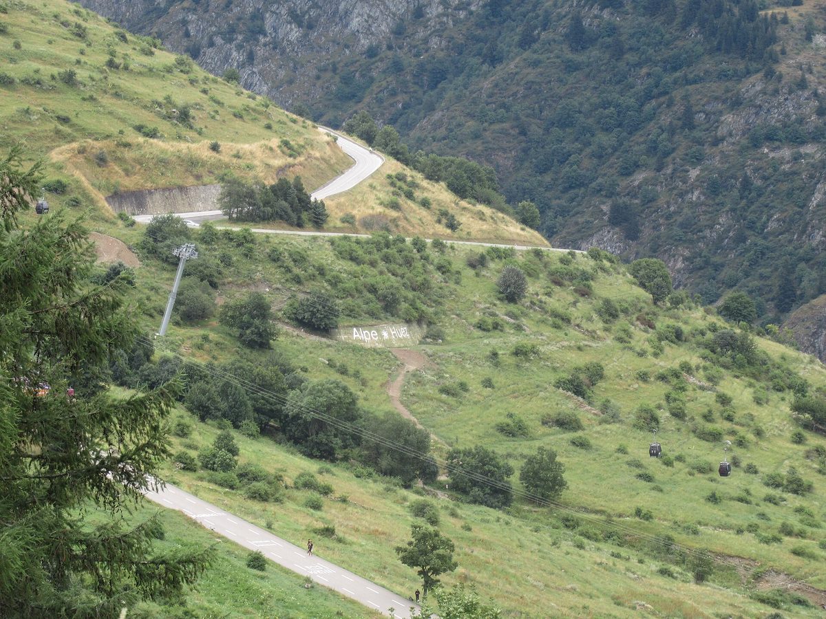
Alpe d'Huez
The 21 Hairpins — 13.8 km · 8.1% avg
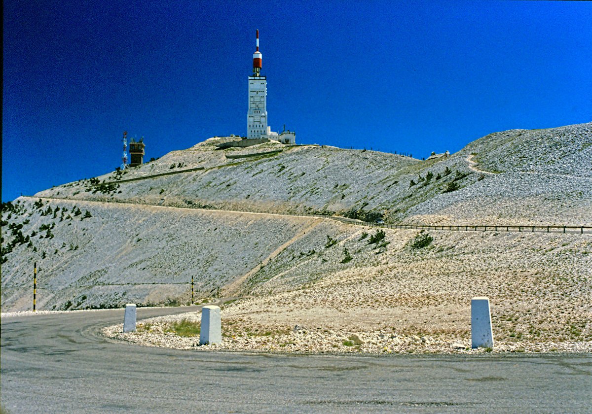
Mont Ventoux
Giant of Provence — 21.8 km · 7.4% avg
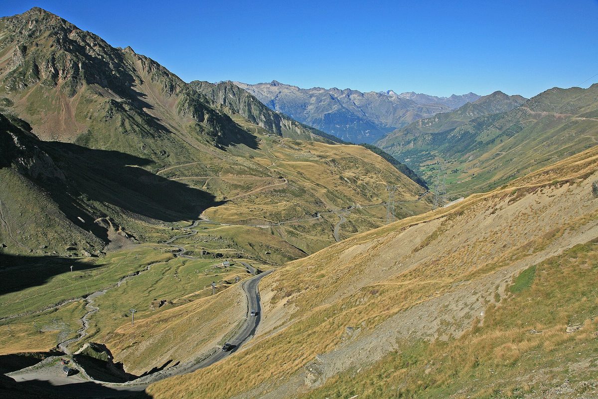
Col du Tourmalet
Giant of the Pyrenees — 19.0 km · 7.4% avg
Also useful: Gearing for Mountain Climbs: Chainrings, Cassettes and Bike Setup for Alpe d'Huez, the Galibier and the Angliru
Also useful: How to Climb Long Mountain Climbs: Pacing, Effort and Fueling for Alpe d'Huez, Ventoux and the Galibier